SGES
  •   

    (An ISO 9001:2015; 45001:2018 Certified Company & NABL Accredited lab as per ISO/IEC 17025:2017)

Offshore Integrated Survey System Company - SGES


OFFSHORE – INTEGRATED SURVEY SERVICE

Our planet consists of over 70 percent of water bodies. Every body traveling or placed on the water's surface is backed by a strong seabed and sub-surface topography analysis. This desired analysis is done by conducting required underwater studies known as Hydrographic Surveys that deal with integrated geological and geophysical surveys from Shore to Deep Ocean, including seabed sampling.

SGES is a profound consultant providing an integrated offshore survey solution for many well-known Upstream/Downstream companies via various underwater geotechnical and geophysical studies.

Hydrographic & Geophysical Survey

The Geotechnical Engineers at SGES have expertise in challenging navigational conditions pertaining to shallow water conditions. Our offshore hydrographic surveys have supported many marine constructions in not just unlocking various bathymetry insights but also offering many factual and engineering reports related to the same.

Geo Hazard Surveys/2D HIRES

Geo Hazard Surveys are one of the crucial offshore surveys for the oil and gas industry. They help many marine constructors identify risks like soft sediments, pockmarks, and unstable conditions under water. SGES generates various geohazard survey reports by utilizing 2D or 3D seismic data. The advanced equipments and sensors used can guarantee the structural integrity and performance of construction.

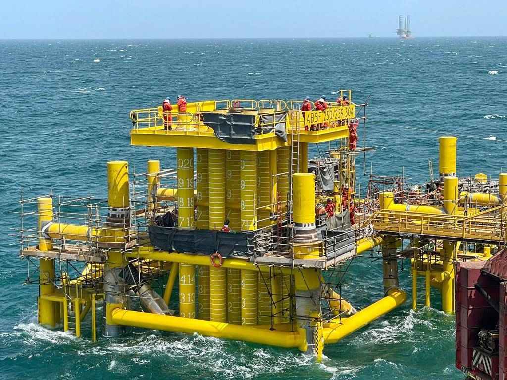
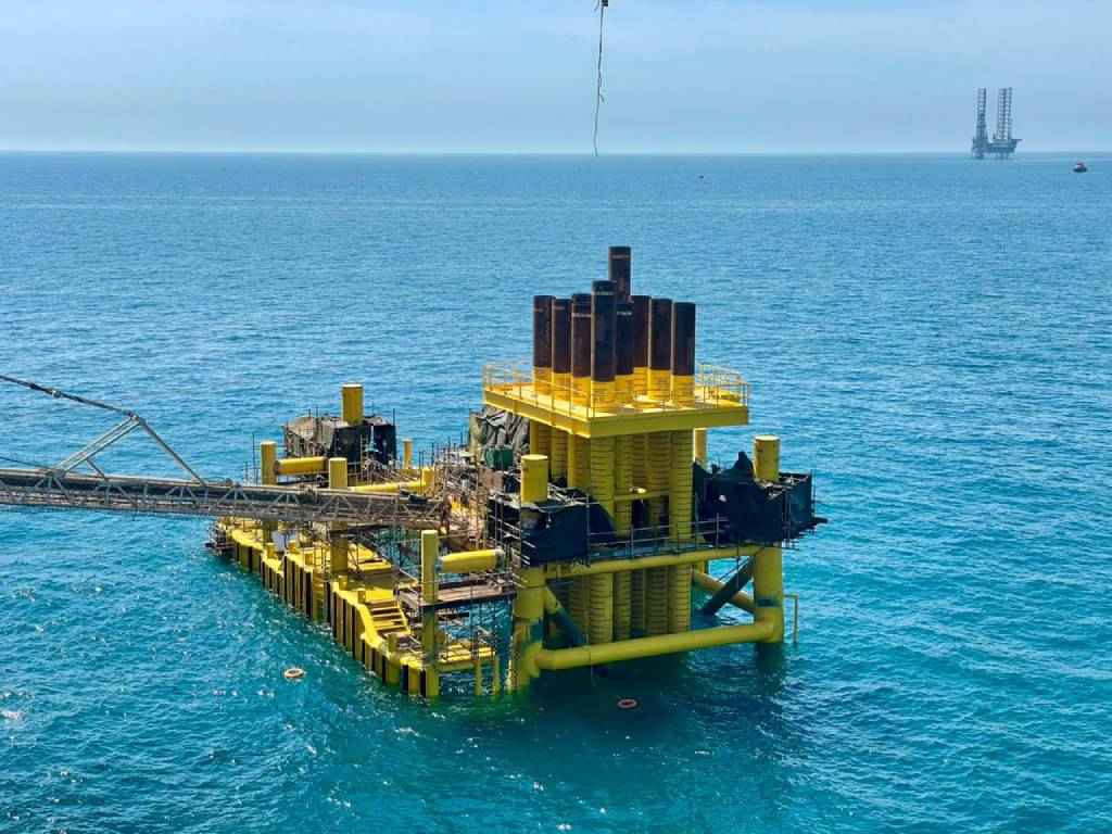
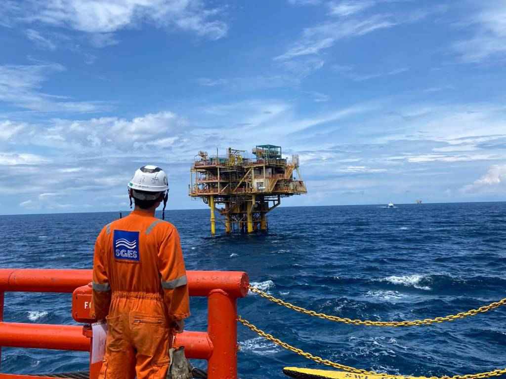
Construction Support for Offshore Pipelay and platform / SPM Installation

SGES offers construction support for offshore pipe lay and platform / SPM Installation, observing the national and international compliances attached to the clients requirements and expectations. Thanks to our state-of-the-art technologies and experienced staff for their insightful analysis of characteristics of pipe fabrication and the pipeline design method. We also help clients with pipeline calculations and engineering principles that enable them to mitigate all integrity threats involved in pipe lay and platform / SPM Installation in oil and gas industries.

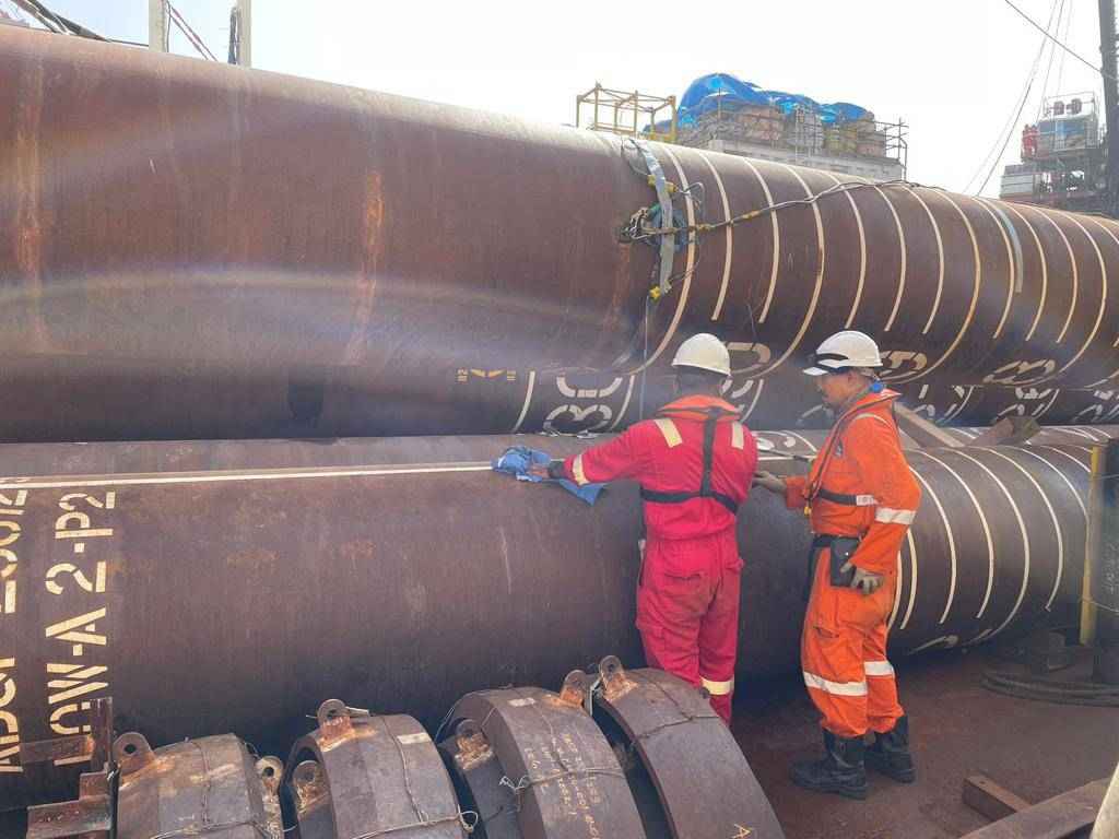
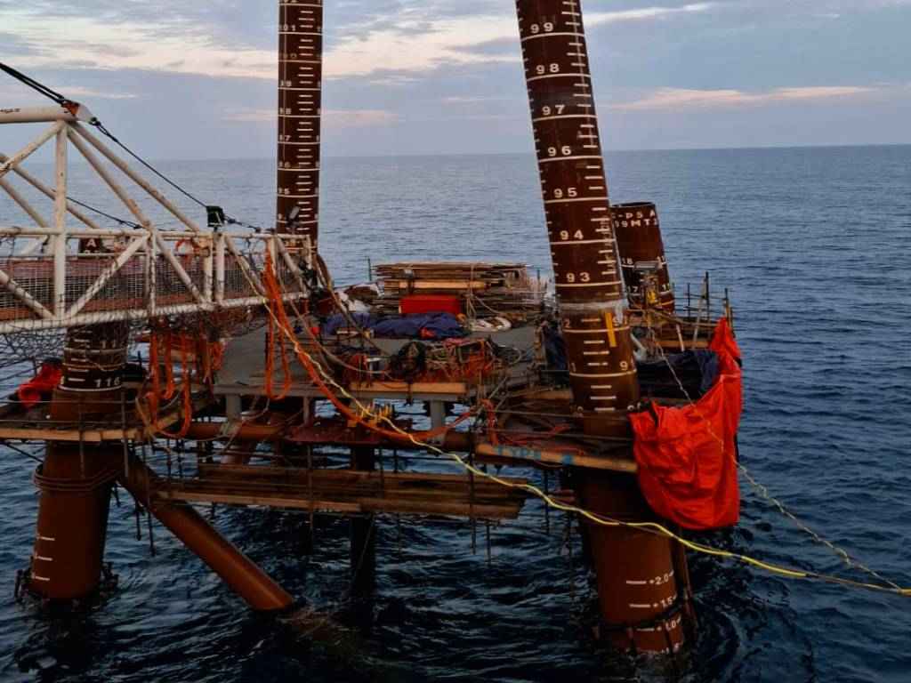
Precise surface positioning for offshore installation and Pile monitoring activities

Our offshore survey experts at SGES can help our clients determine the precise surface positioning for offshore installation and Pile monitoring activities.

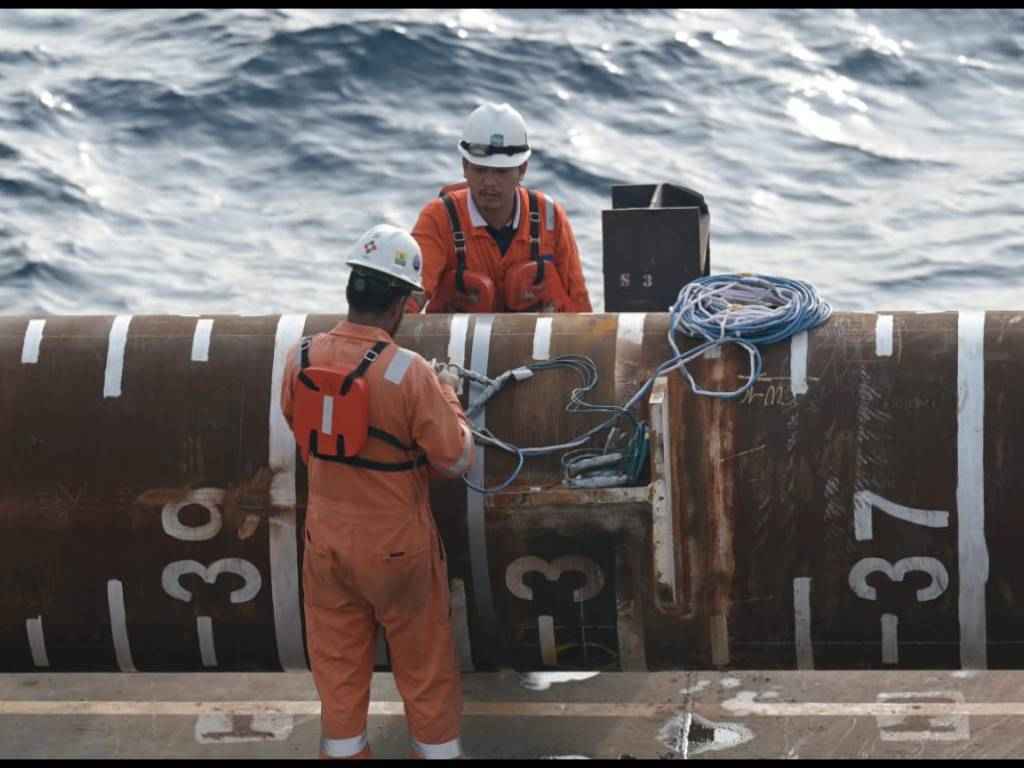
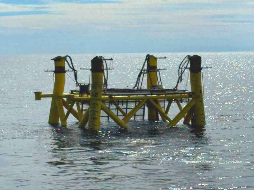
Subsea positioning support for underwater construction and diver tracking

Explore underwater details with confidence that our Geotechnical engineers and consultants. We also offer supreme supervision of determining accurate positioning accuracy less distorted in water depths. Our optimized software and hardware offshore survey positioning equipment facilitates customized survey and ROV services for the offshore industry.

Geotechnical Investigation

We have steadily expanded our marine geotechnical capabilities to meet the increased demand for integrated geological and geophysical surveys from Shore to Deep Ocean including, seabed sampling, In- Situ testing, soil sampling and rock coring in water depths up to 1500mtrs. Some of our geo-technical investigations expertises are as below:

  • Mobilize suitable marine spread depending on the water depth
  • 5-20m: Jack up Platforms
  • 20-100m: Four Point Mooring Vessel
  • Greater than 100m : DP Vessel
  • Drilling in all types of Soil & Rock
  • In-situ testing including downhole CPT
  • Continuous CPT using seabed operated unit
  • Rig based coring
  • Vibro coring
  • Drop & Grab sampling
  • Offshore Laboratory
  • Onshore Laboratory

Reporting Capabilities

As a pioneer in offering Geotechnical and Engineering SGES is also backed by market leaders in our industry. Owing to the same we are also equipped with various reporting services for offshore surveys that we offer our clients. Our reporting capabilities include

  • Preparation of Factual Report
  • Preparation of Engineering Report:
  • Estimation of Pile Capacity, p-y, t-z, q-z curves
  • Mud mat Analysis/ Shallow Foundation Analysis
  • Pile/conductor drivability analysis using GRL WEAP software including stick and fatigue during driving analysis
  • Foundation Assessment & Leg Penetration Analysis of Jack up Rig
  • Liquefaction Potential Assessment